|
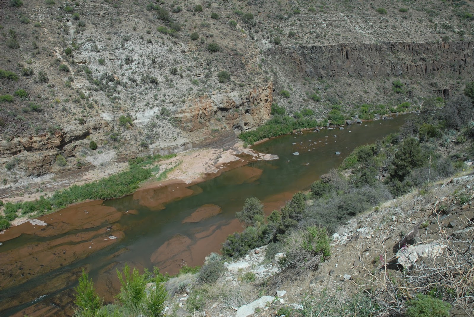
| Apache Trail on the Fish Creek Hill descent. |
The Apache Trail can certainly be classified as one of the most adventurous and scenic routes in the American Southwest. Since 1906 tourists have traveled this unique mountain road and marveled at some of the most spectacular scenery in our state. The Apache Trail originally began in Phoenix and terminated at Roosevelt Dam. The most significant portion of roadway began at the Mesa railhead and terminated at Roosevelt Dam site on the Salt River some sixty-two miles away.
The approximate route of the Apache Trail has served humanity for more than a millennium. The Salado used the trail to penetrate the Salt River Valley around 900 A.D. Other Native American groups continued to use the trail as a migratory route between their winter homes on the desert lowlands and their summer homes in the mountains along the Mogollon Rim.
The Apaches and Yavapais used the trail for their predatory raids against the Pimas along the Salt and Gila Rivers south and west of Superstition Mountain. The Apaches and Yavapais continued their raids after the arrival of the Anglo-Americans in the early 1850s. Finally in 1864, Camp McDowell was established along the Verde River some four miles north of the Salt River. The Pimas became willing allies of the blue-shirted soldiers who manned Fort McDowell. This footpath (trail) along the Salt River through the mountains to Tonto Basin was called both the Tonto Trail and the Yavapai Trail on different occasions. The Army quelled the predatory ways Apaches-Yavapais in this region by 1868. There were other military campaigns fought against renegade Apaches from 1871 until Geronimo’s surrender in 1886 at Skeleton Canyon in Southern Arizona.
A young man navigated the Salt River near the present site of Roosevelt Dam to Phoenix in a cataract boat during the early part of the 1880s. He reported numerous ideal dam sites along the river’s course. The Maricopa County Board of Supervisors ordered a feasibility study done on the Salt River for possible water storage and flood control dam sites shortly thereafter. William “Billy” Breakenridge, James H. McClintock, and John H. Norton conducted a feasibility study for the county board of supervisors. Breakenridge also explored the route for a possible wagon road at the time of this study. Billy Breakenridge was a well-known Tombstone lawman during the 1880s. James McClintock became Arizona’s first official historian.
Breakenridge’s report was highly favored for the construction of a dam just downstream from the confluence of Tonto Creek and the Salt River. The Congress of the United States authorized the construction of a dam and the project was funded in March of 1903. The task of supervising the building of this dam was given to the newly formed U.S. Bureau of Reclamation Service under the United States Department of Interior. This was one of the first major building projects in America shortly after the beginning of the 20th Century.
Immediately after funds were approved by Congress the communities of the Salt River Valley realized no money was appropriated for the construction of a haul road from Phoenix to the dam site. The valley communities wanted to participate in this economic boom. They wanted a greater involvement in the market developed by the construction of Roosevelt Dam. The communities immediately worked on a bonding plan to raise enough money to fund the construction of the Mesa-Roosevelt Road.
Actual construction of the Tonto Wagon Road, as it was known in the beginning, began on August 29, 1903, with two hundred Apache laborers working just below the dam site on the Salt River. Another work camp was established on November 11, 1903, at Government Well, some twenty-five miles from Mesa, employing some 200 Pima laborers. The Tonto Wagon Road was completed on September 3, 1905, at a cost of $551,000. The road was sixty-two miles in distance, running from the Tonto Dam site to the Mesa railhead. It was reported that more than a million and half pounds of freight moved over the road in its first month of operation. By 1912, the year of statehood, Roosevelt Dam was completed and supplied water and hydroelectric power to the Salt River Valley and the mines at Globe.
The first Concord stage made a run over the Mesa-Roosevelt Road on June 10, 1905. The first automobile that traveled over the road from Mesa to Government Wells was on August 23, 1905. This Knox Automobile was known as the “Red Terror.” The first so-called tourist group to travel over the Mesa-Roosevelt Road was on October 10, 1905. The first major accident to occur on the Mesa-Roosevelt Road occurred between Mormon Flat and Fish Creek Hill with a stagecoach. The accident occurred on November 23, 1905. The curves, steep grades, and narrowness of the Mesa-Roosevelt road challenged the skills of early teamster and drivers. Even today, as we drive the Apache Trail, the road still challenges our skills as drivers.
The Mesa-Roosevelt Road was highly regulated during the construction of Roosevelt Dam (1906-1911), however, when the construction was over, the road became a favorite tourist attraction. The road was known as the Mesa-Roosevelt Road and Tonto Wagon Road during the period between 1903-1915. Sometimes the media called the road the Roosevelt Road. Shortly after 1915 the road became known as the Apache Trail. Historians appear to agree in general as to the origin of the name “Apache Trail.” They believe the term was coined by an enterprising young entrepreneur who worked as a railroad agent for the Southern Pacific. The man’s name was E.E. Watson. Watson was trying to promote the Southern Pacific’s “Sunset Limited” as it made its way through Arizona. The Southern Pacific offered a side trip for its transcontinental passengers over the Apache Trail if they were interested. Southern Pacific had the franchise on the Apache Trail as a special side trip for their passengers. The Southern Pacific Railroad promoted the Apache Trail widely in advertisements all over America and even in Western Europe from 1915 through 1929.
The Apache Trail (State Route 88) was officially dedicated as Arizona’s first historic highway on February 25, 1987, at Lost Dutchman State Park along the Apache Trail. Tourists have been traveling the Apache Trail since 1906. They have been enjoying one of the most beautiful desert highways in America. The Apache Trail is a roadway to adventure, beauty and history. President Theodore Roosevelt was given credit for the following words about the Apache Trail.
“The Apache Trail combines the grandeur of the Alps, the glory of the Rockies, the magnificence of the Grand Canyon and then adds an indefinable something that none of the others have, to me, it is most awe-inspiring and most sublimely beautiful.”
 |
| Reinforcing the riprap along Weekes Wash (Goldfield) to protect the Apache Trail from erosion. |